Public.
What Traza does, a plot book and a boardroom view on a fictional study, and the 46-second showcase. Open to anyone.
Choosing a layout also changes what must be built and funded. Traza is a working planning application: draw a site boundary, shape streets and plots, place and edit buildings, and follow every design choice into quantities, cost, cash flow and a brief. Two films below show it working; the saved examples let you compare four planning alternatives yourself.
Traza is in private use. Its product page is public and its workspace is account-based; access is by invitation while the product matures. This portfolio carries the films and the saved examples, not the application.
46 seconds · silent · real product views, fictional study. Made for sound-off viewing.
Start with a land boundary, shape streets and plots, inspect an asset, test assumptions, compare development cases, and follow results back to quantities and method.
Recorded 4 October 2026 from a candidate build, captions on · fictional study of 15 buildings and 32 drawn homes. Move a plot corner, reposition a villa, make a reusable four-bedroom type and apply it to two placements, adopt a measured commercial area, follow one home into cash, test a construction-cost scenario, and issue a brief from the accepted case. Geometry, types, cash and brief stay connected throughout.
It is a screen recording of the real application on a synthetic site, verified frame by frame against the saved project after each step. It is not a market study: unit prices, build rates and collection profiles are disclosed assumptions, and the brief says so.
Version 0.38 shipped in October 2026 after a month of AI-assisted development with every release checked for confidential material before it leaves the build.
What Traza does, a plot book and a boardroom view on a fictional study, and the 46-second showcase. Open to anyone.
Boundary, roads, plots, buildings and a villa editor down to the room. Saves in the browser; nothing is uploaded.
Saved scenarios, comparisons and briefs for an account. Access is by invitation while the product matures.
A Delivery module: programme, cost and earned value, procurement, permits and gates, sales and funding, change and risk, all driven by the engine's own monthly cash flow so that a slipped phase moves every chart. Mocked up in October 2026 with figures that reconcile to the engine to the riyal; a hotel asset class is scoped but not built.
A more attractive plan may also need more construction and funding. Separate drawings and spreadsheets make that trade-off hard to follow.
Compare four saved alternatives on the same synthetic site. Follow the homes, construction quantities, costs and cashflow back to the assumptions.
Leave with a better question for the next review: which design choice changes the result, and which assumption needs real-world validation?
The saved examples on this portfolio are retained Traza calculation snapshots, not a live editing engine. Each result has a model revision and disclosed assumptions. Concept buildings, market inputs and authority requirements need validation before a real project decision.
Review four alternatives on the same synthetic boundary, see what changes, and inspect the assumptions behind the saved results.
Compare the four scenarios ↗The published scenario carries source road context, illustrative proposed buildings, community works and financial assumptions together. Every figure below comes from the retained Traza calculation snapshot.
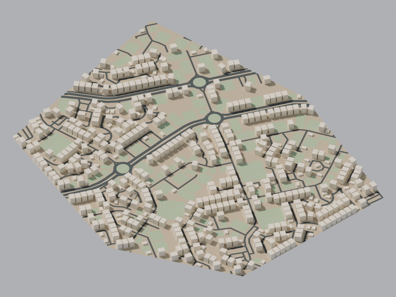
© OpenStreetMap contributors · ODbL. Street geometry adapts the Diplomatic Quarter precedent to a synthetic boundary. Buildings and new local streets are concept proposals, not an inventory of the existing district. Land cost assumes acquisition of the whole study boundary. Partial plot coverage does not establish development capacity.
These figures describe a dated, illustrative scenario, not an investment valuation. Traza is the only editing and calculation application; changes there do not silently replace this published evidence.
How these figures are calculated ↗Traza is a working application in private use. The product page is public; the Studio and Workspace are account-based, and access is by invitation while the product matures. This portfolio does not hand out access.
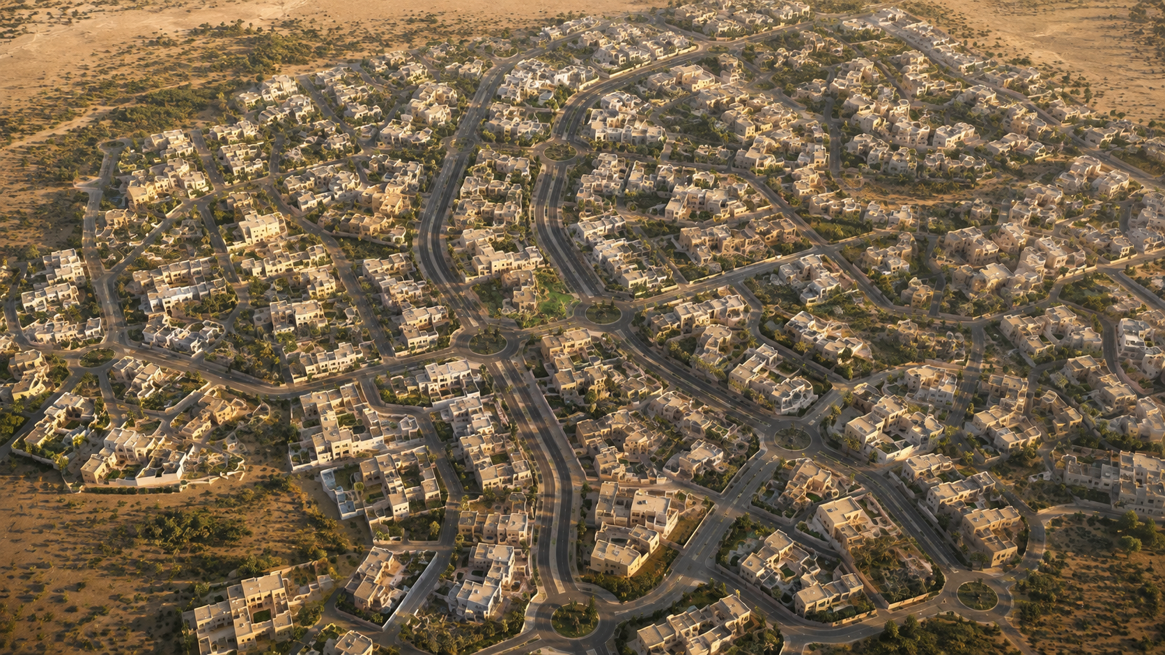
This earlier AI image guided the atmosphere. Its buildings do not match the measured inventory and it is not used for quantities or financial calculations.
The original 812-home Power BI study remains separate from the current synthetic neighborhood.
Open the archived study ↗