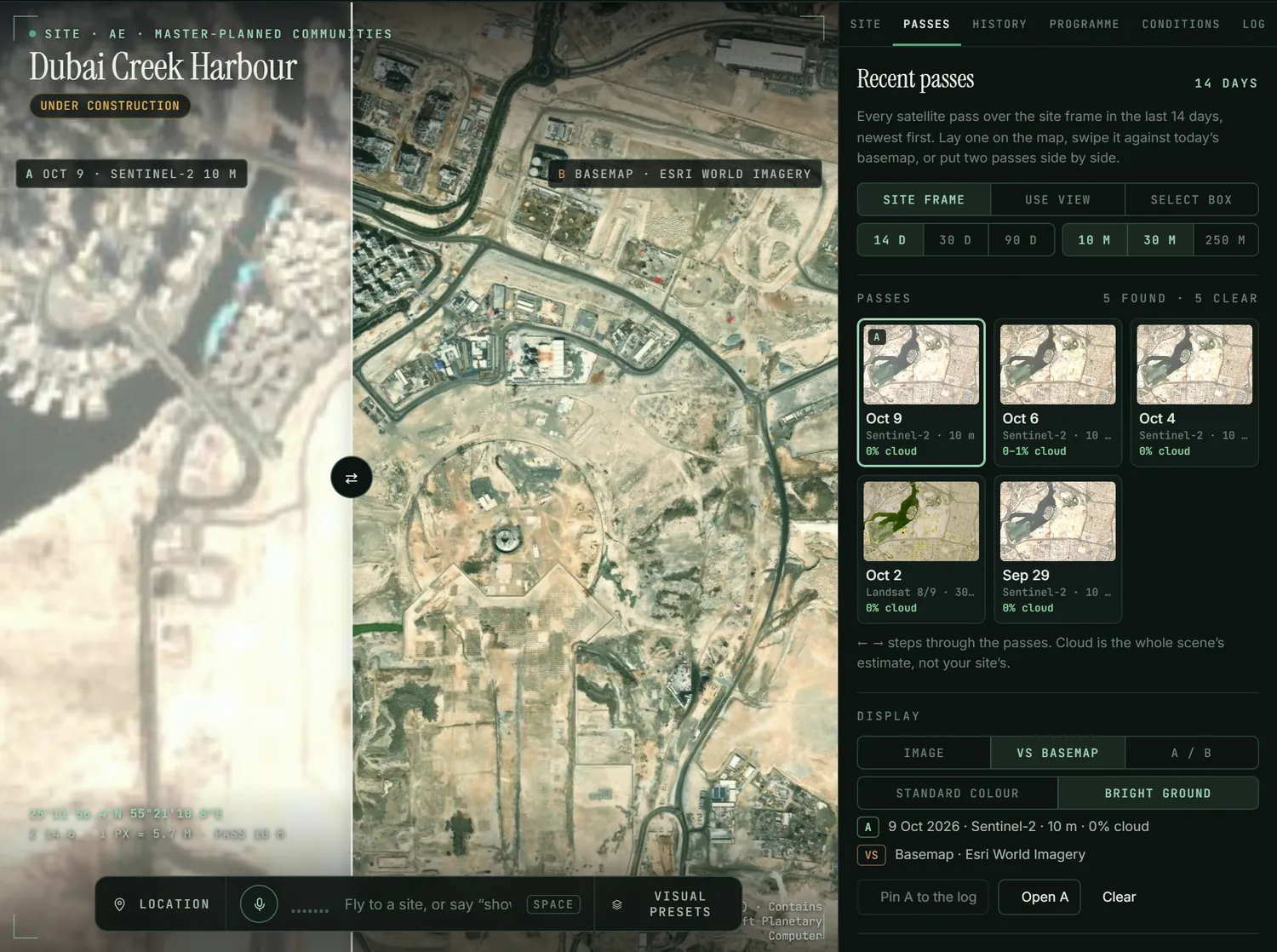
Last week’s site, not last year’s map.
Every free satellite pass over the boundary, checked for cloud, laid on the map and swiped against today’s basemap or another pass.
Groundwork turns free satellite imagery into a working record of a development site: the passes of the last few days, the high-resolution history, the programme against what is built, and a one-page brief the board can read.
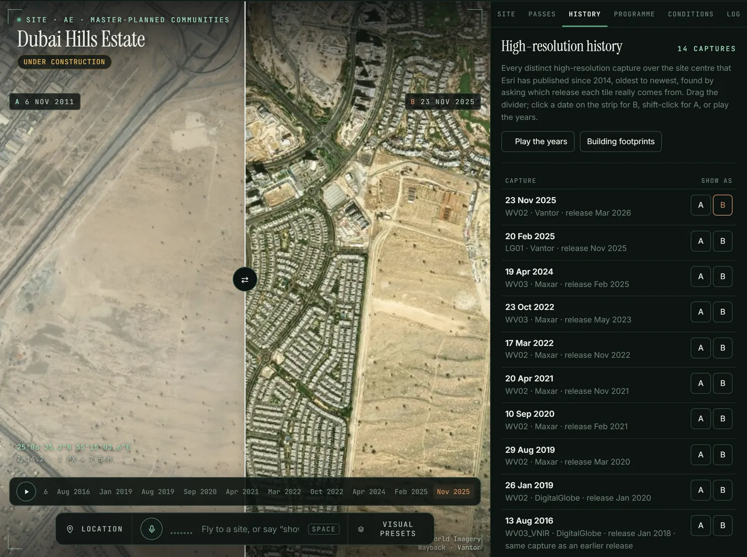
Every free satellite pass over the boundary, checked for cloud, laid on the map and swiped against today’s basemap or another pass.
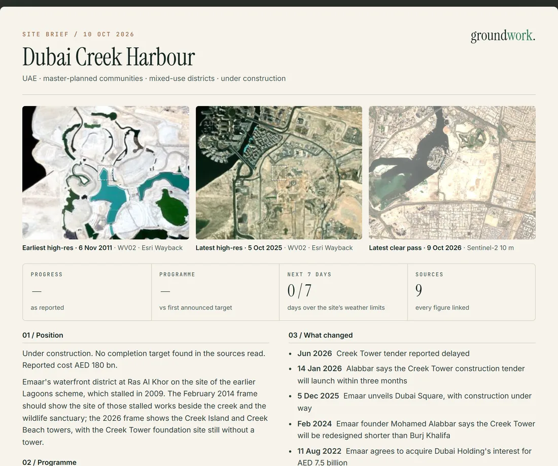
Earliest and latest captures, the latest clear pass, progress, programme, conditions and open issues, ready to print.
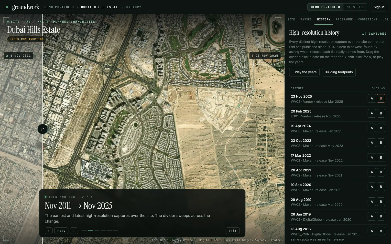
Five scenes for the boardroom screen: the fly-in, then and now, the last few days, the programme, the week ahead.
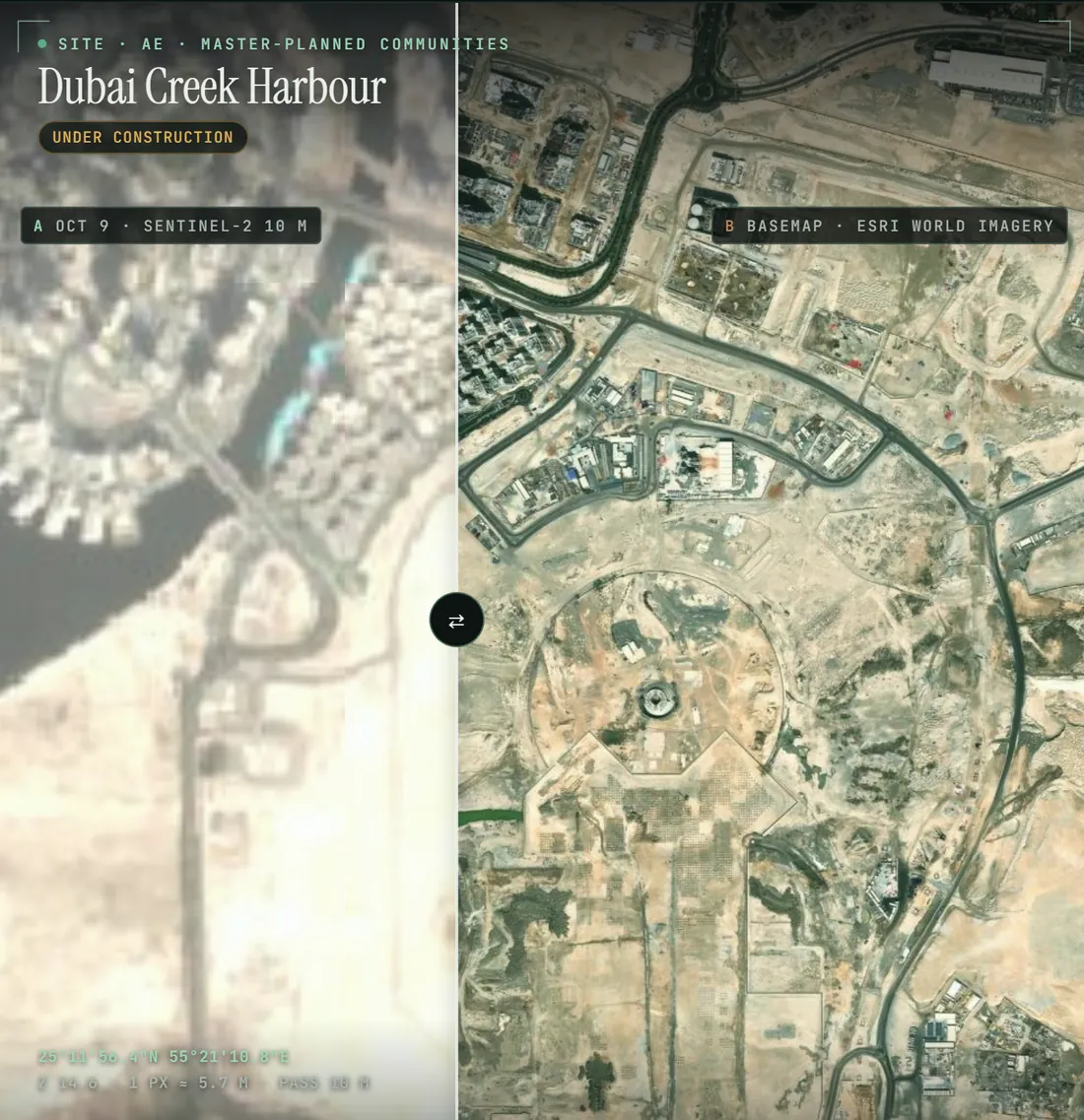 DUBAI CREEK HARBOUR · SENTINEL-2 · 9 OCT 2026 · AGAINST THE BASEMAP
Open Groundwork, find the place, draw the boundary. The passes of the last two weeks load straight away. No account is needed to try it; shared workspaces are by invitation while it is in preview.
Open Groundwork ↗